
Precision Drone Services for Land Management
At AgFlight Tech, we specialize in delivering advanced drone solutions that save time, reduce waste, and improve efficiency. Our cutting-edge technology and expert team allow us to provide precision aerial applications, mapping, and custom solutions…
-
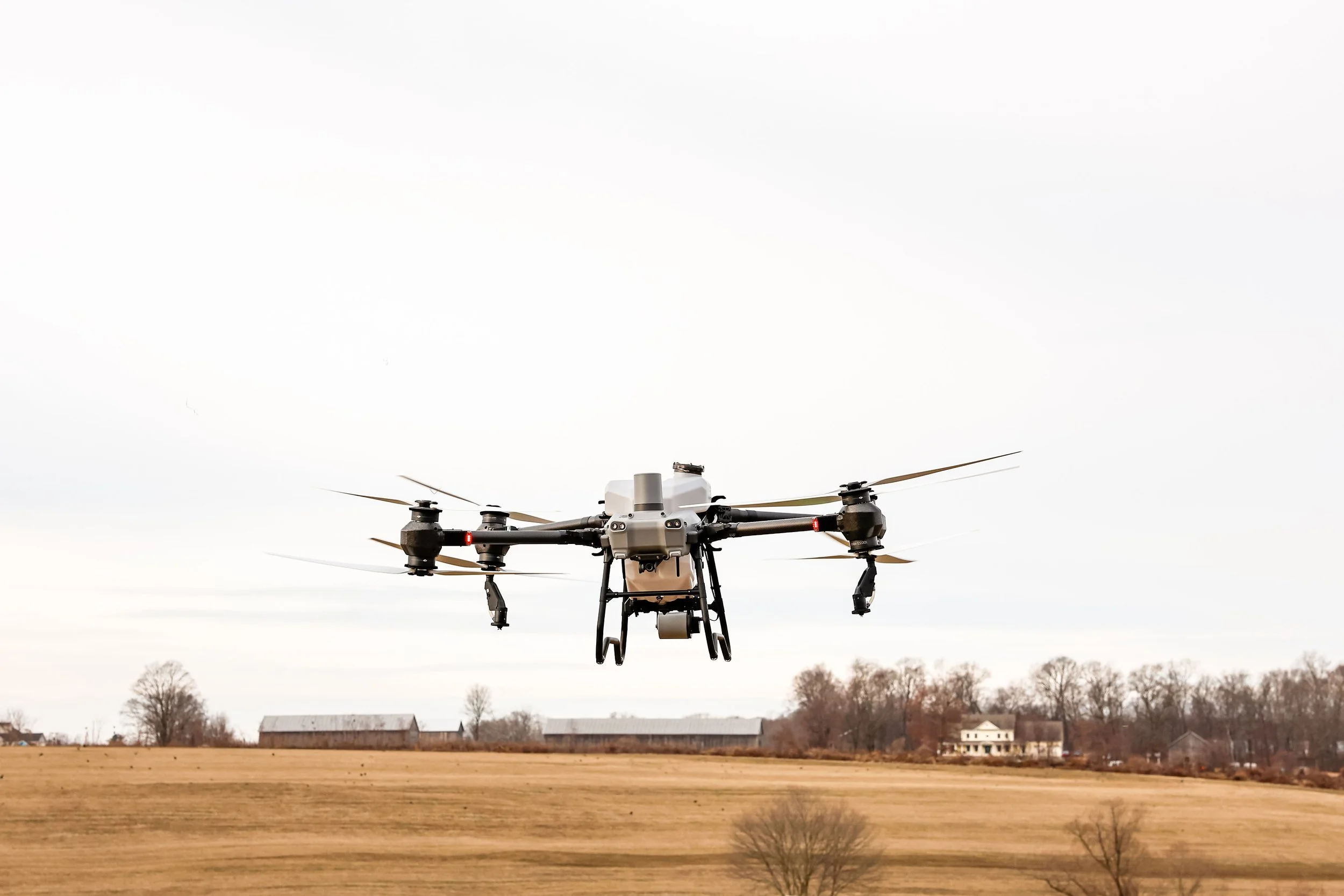
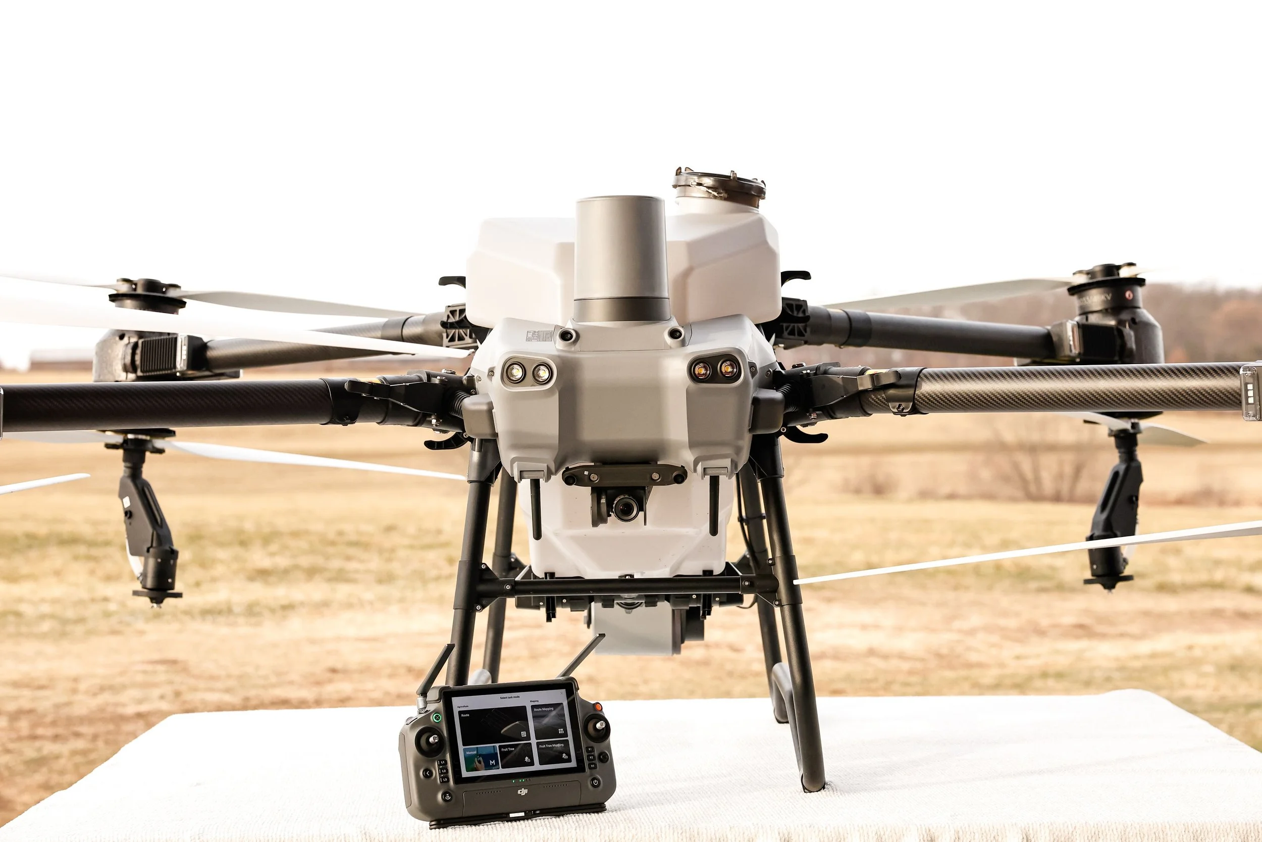
Drone Spraying
Efficient, accurate, and environmentally conscious spraying for crops, and land management projects.
What We Offer:
Fertilizer Application: Targeted nutrient delivery to maximize crop growth
Pesticide & Fungicide Spraying: Protect crops from pests, weeds, and disease with precision coverage
Orchard & Vineyard Spraying: Navigate tight rows and dense canopies safely
Spot Spraying: Treat problem areas without overapplying chemicals to the entire field
Edge & Boundary Spraying: Accurate application along field edges and sensitive areas
Difficult Terrain Access: Safely spray hillsides, wet fields, and areas unreachable by ground equipment
Benefits:
-Reduced chemical waste and runoff
-Improved crop yield and health
-Safe operation in difficult or wet terrain
-

Seeding & Spreading
Efficient aerial seeding for cover crops, reforestation, and erosion control.
What We Offer:
Cover Crop Aerial Seeding: Improve soil health and reduce erosion efficiently. Seed is placed into the standing crop earlier, giving it more time to germinate and establish before harvest, leading to stronger, more uniform growth
Granular Fertilizer Application: Apply dry fertilizer evenly and efficiently for strong, consistent crop growth
Revegetation Aerial Seeding: Establish vegetation in hard-to-reach or steep areas
Erosion Control & Slope Stabilization: Aerially apply seed to prevent soil loss
Custom Seed Blends: Precisely applied to match your soil, climate, and land-use goals
Wetland & Conservation Area Seeding: Restore vegetation while minimizing ground disturbance
Benefits:
-Access difficult terrain with precision
-Save time and equipment costs
-Promote sustainable land management
-Ensure even distribution for optimal growth
-
Mapping & Data Analytics
Gain actionable insights with high-resolution aerial imagery and advanced analytics.
What We Offer:
Field Scouting & Monitoring: Frequent aerial surveys to track crop and land conditions
2D & 3D Orthomosaic Mapping: Create accurate elevation models and terrain data for planning, drainage, irrigation, and project management
Integration with Farm Management Systems: Export actionable data for decision-making
Benefits:
-Identify problems early to reduce losses
-Optimize resource use (water, fertilizers, pesticides)
-Improve planning and operational efficiency
-Save time and labor compared to manual scouting
-

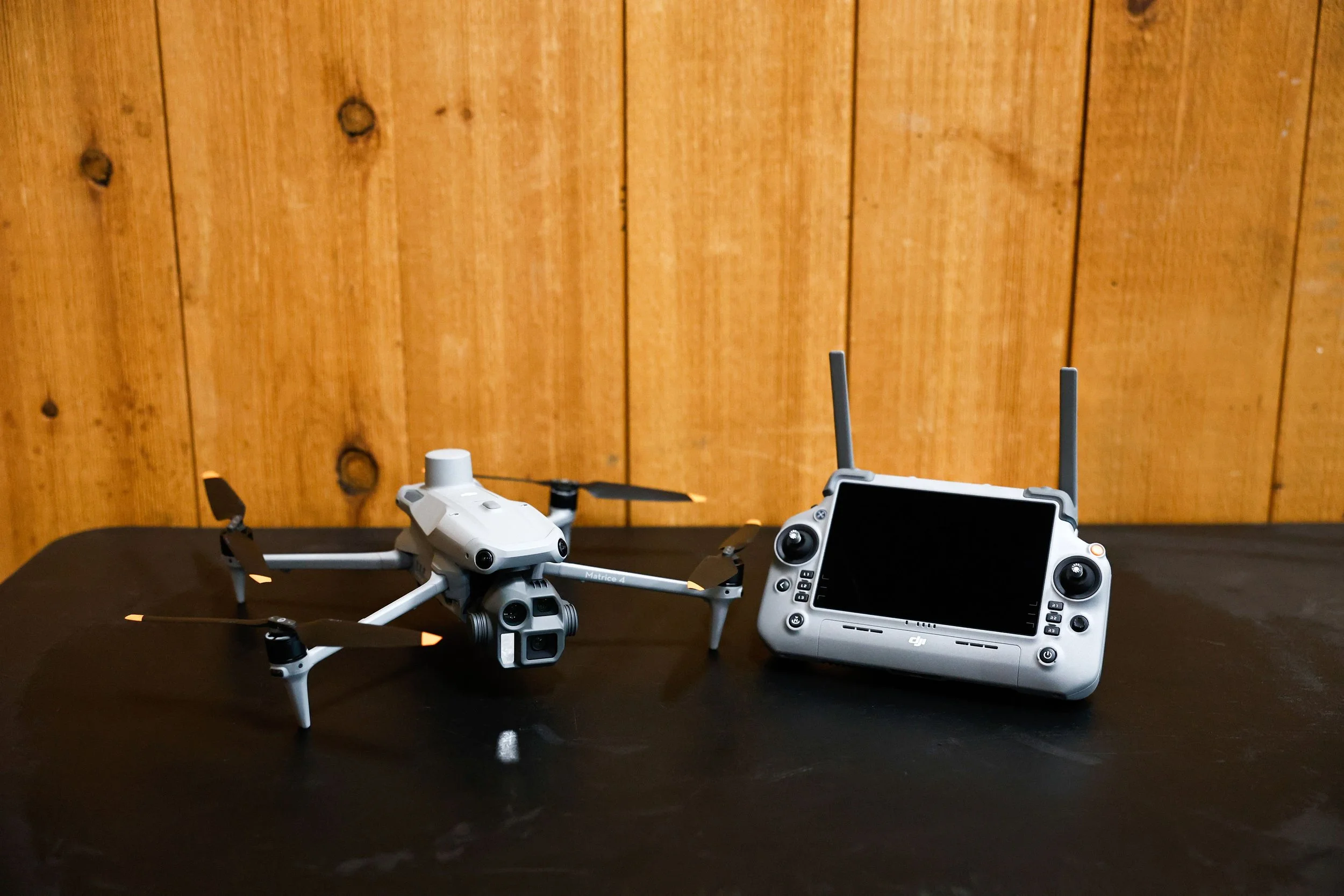
Custom Aerial Solutions
Tailored drone services to meet specialized project needs across multiple industries.
What We Offer:
Site-Specific Treatment Plans: Designed around unique terrain, access limitations, or project goals
One-Off & Trial Applications: Ideal for testing methods, products, or coverage before scaling up
Consultation-Driven Projects: Call to discuss your needs and we’ll determine the best aerial approach
Photography and Videography: High quality photos and/or videos with different capturing abilities
Benefits:
-Flexible solutions for a wide range of applications
-Minimize labor, equipment, and material costs
-Operate safely in challenging or hazardous environments
-Deliver measurable results for every project
- High end equipment perfect for all situations

Ready to take your operations to the next level?
Contact AgFlight Tech today to schedule a flight, request a quote, or learn more about our services.